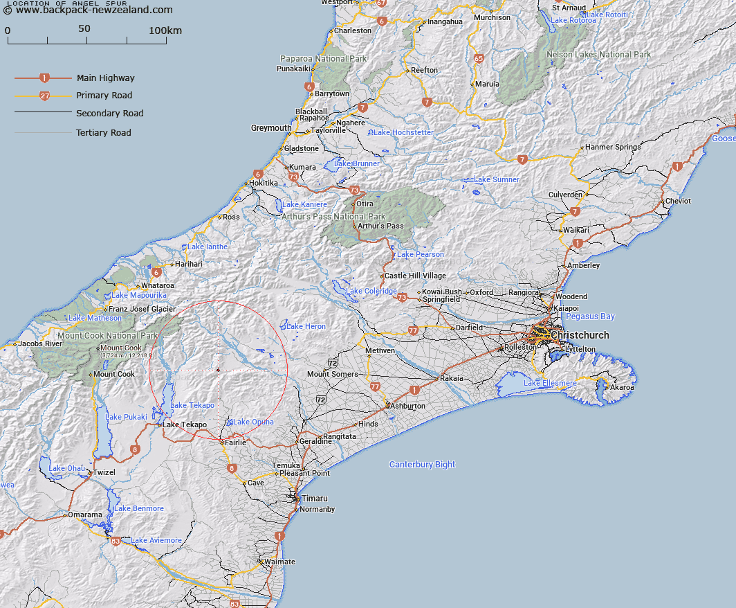
Map showing location of Angel Spur
LINZ description: Spur running South-east from a point on the Sinclair Range 1.6km North by North-east of Bullock Bow Saddle to the junction of Forest Creek and Moonlight Stream. Block II Fox Survey District.
Latitude: -43.709153
Longitude: 170.811324
Northing: 5158102.2
Easting: 1423667.9
Land District: Canterbury
Feat Type: Ridge
Latitude: -43.709153
Longitude: 170.811324
Northing: 5158102.2
Easting: 1423667.9
Land District: Canterbury
Feat Type: Ridge

Scroll down to see a more detailed road map and below that a topographical map showing the location of Angel Spur. The road map has been supplied by openstreetmap and the topographical map of Angel Spur has been supplied by Land Information New Zealand (LINZ).
Yes you can use the top static map for you school/university project or personal website with a link back. Contact me for any commercial use.
[ A ] [ B ] [ C ] [ D ] [ E ] [ F ] [ G ] [ H ] [ I ] [ J ] [ K ] [ L ] [ M ] [ N ] [ O ] [ P ] [ Q ] [ R ] [ S ] [ T ] [ U ] [ V ] [ W ] [ X ] [ Y ] [ Z ]