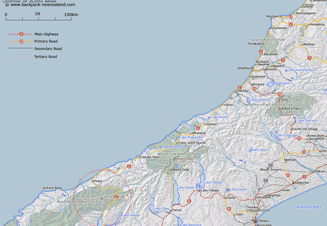
Map showing location of Alioth Brook


LINZ description: Feature shown on: NZMS260 F38 Edition 1 1995
Latitude: -44.104389
Longitude: 169.175722
Northing: 5109418.3
Easting: 1293922.7
Land District: Westland
Feat Type: Stream


Scroll down to see a more detailed road map and below that a topographical map showing the location of Alioth Brook. The road map has been supplied by openstreetmap and the topographical map of Alioth Brook has been supplied by Land Information New Zealand (LINZ).

Yes you can use the top static map for you school/university project or personal website with a link back. Contact me for any commercial use.
Alioth Brook Map New Zealand


New Zealand places in our database
[ A ] [ B ] [ C ] [ D ] [ E ] [ F ] [ G ] [ H ] [ I ] [ J ] [ K ] [ L ] [ M ] [ N ] [ O ] [ P ] [ Q ] [ R ] [ S ] [ T ] [ U ] [ V ] [ W ] [ X ] [ Y ] [ Z ]


Closest 20 Streams to Alioth Brook

Squabble Creek ( 0.45km )   Change Creek ( 1.11km )   Chatter Creek ( 1.65km )   Shining Water ( 1.76km )   Bright Water ( 2.04km )   Dancing Water ( 2.24km )   Atom Creek ( 2.46km )   Merry Brook ( 2.46km )   Blue River ( 2.64km )   Arcade Creek ( 3.27km )   Alarm Creek ( 3.6km )   Turmoil Torrent ( 3.78km )   Waterfall Creek ( 4.38km )   Chlorite Creek ( 4.76km )   Princes Creek ( 4.82km )   Howe Creek ( 5.37km )   Cranny Creek ( 5.46km )   Swift Water ( 5.82km )   Blue River South Branch ( 6.02km )   Young River North Branch ( 6.53km )   Ore Stream ( 6.98km )   Hope Creek ( 7.03km )   Emily Creek ( 7.36km )   Wander Creek ( 7.52km )   Jostling Water ( 7.63km )   Whirligig Torrent ( 7.67km )   Clear Creek ( 7.71km )   Ngatau River ( 7.86km )   Leven Stream ( 7.88km )   Tinkle Rill ( 7.95km )   Blue River North Branch ( 8km )   Upper Creek ( 8.06km )   Burke River ( 8.39km )   Stag Creek ( 8.45km )   Twinkle Brook ( 8.48km )   Romp Rill ( 8.55km )   Tumbling Water ( 8.78km )   Tuesday Creek ( 8.8km )   Lindsay Creek ( 9.24km )   Flicker Creek ( 9.42km )